
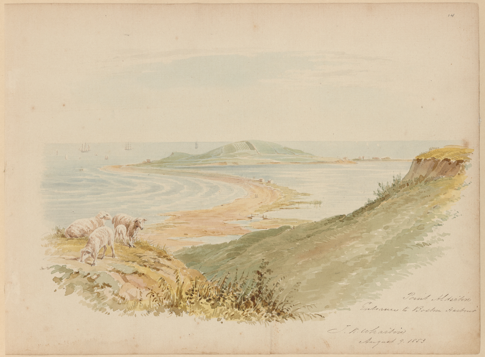
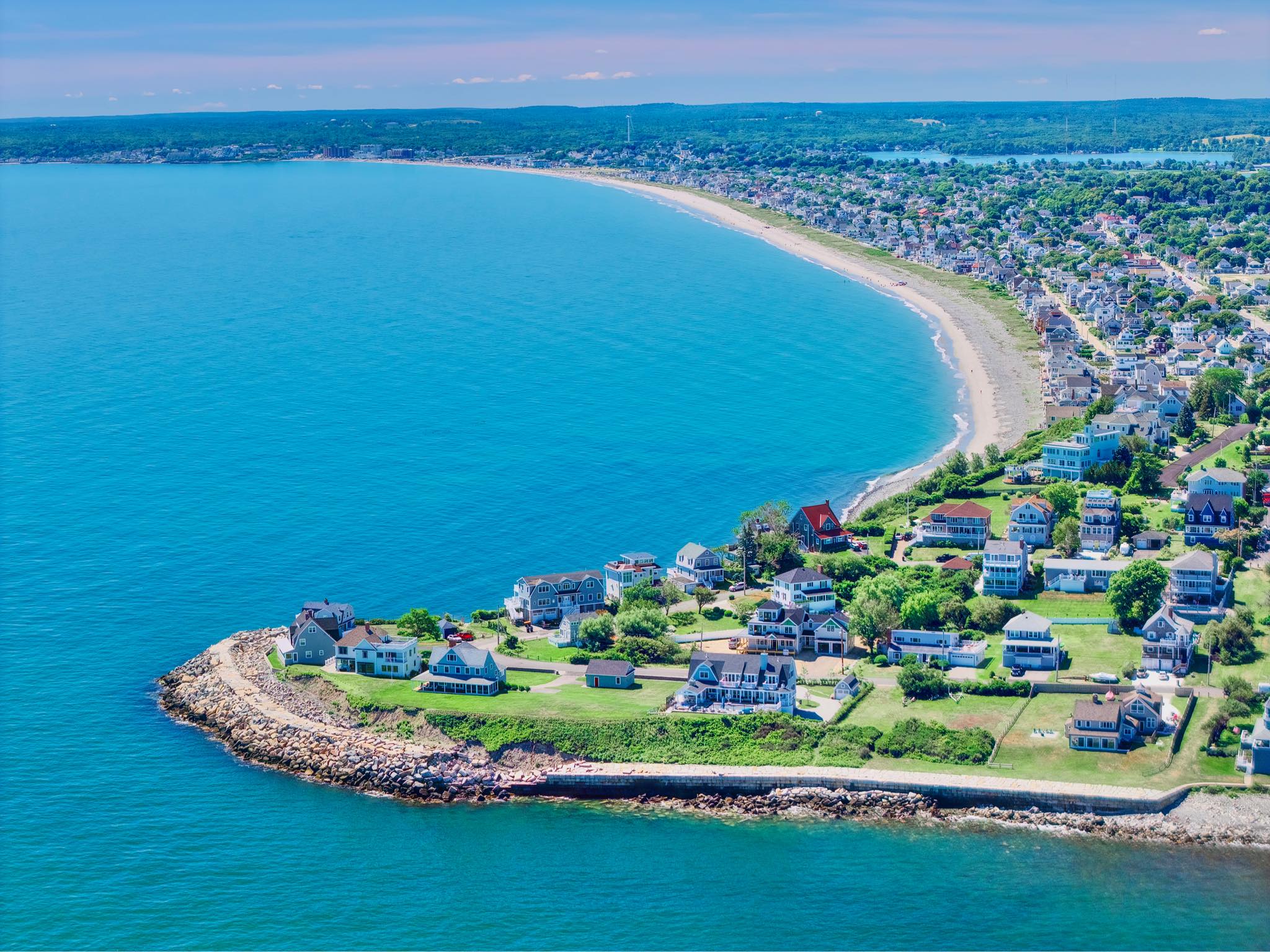
VIEW OF POINT ALDERTON (AKA: ALLERTON) WATERCOLOR, 1853
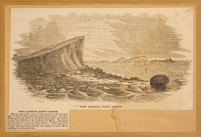
POINT ALDERTON, BOSTON HARBOR ENGRAVING, 1854
BACK TO HISTORY

Inscription reads: Point Alderton Entrance to Boston Harbour J.R. Wharton August 9, 1853
Caption reads: This is a high bluff or point of land, situated at the outermost part of Boston Harbor, about nine miles from the city. The lighthouse seen in our picture is the Boston outer light, and between it and Point Alderton is the entrance to the harbor. The land to the left slopes till it forms Nantasket Beach. The high cliff behind the lighthouse is part of the Great Brewster. Point Alderton is a high cliff, nearly perpendicular, the summit of which affords pasturage for sheep and cows.
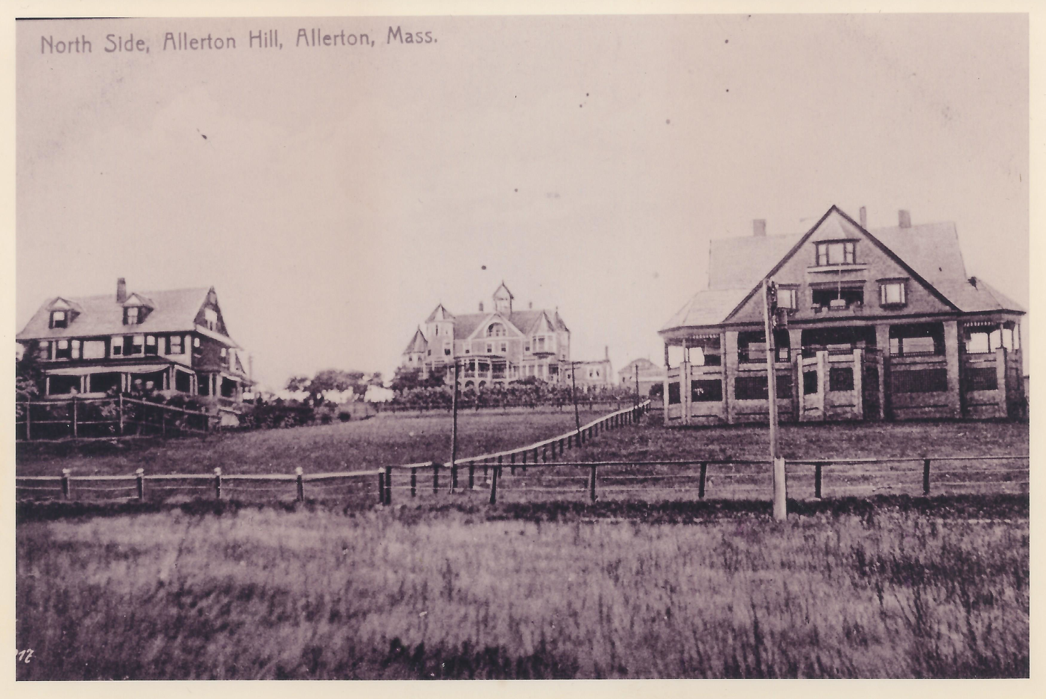
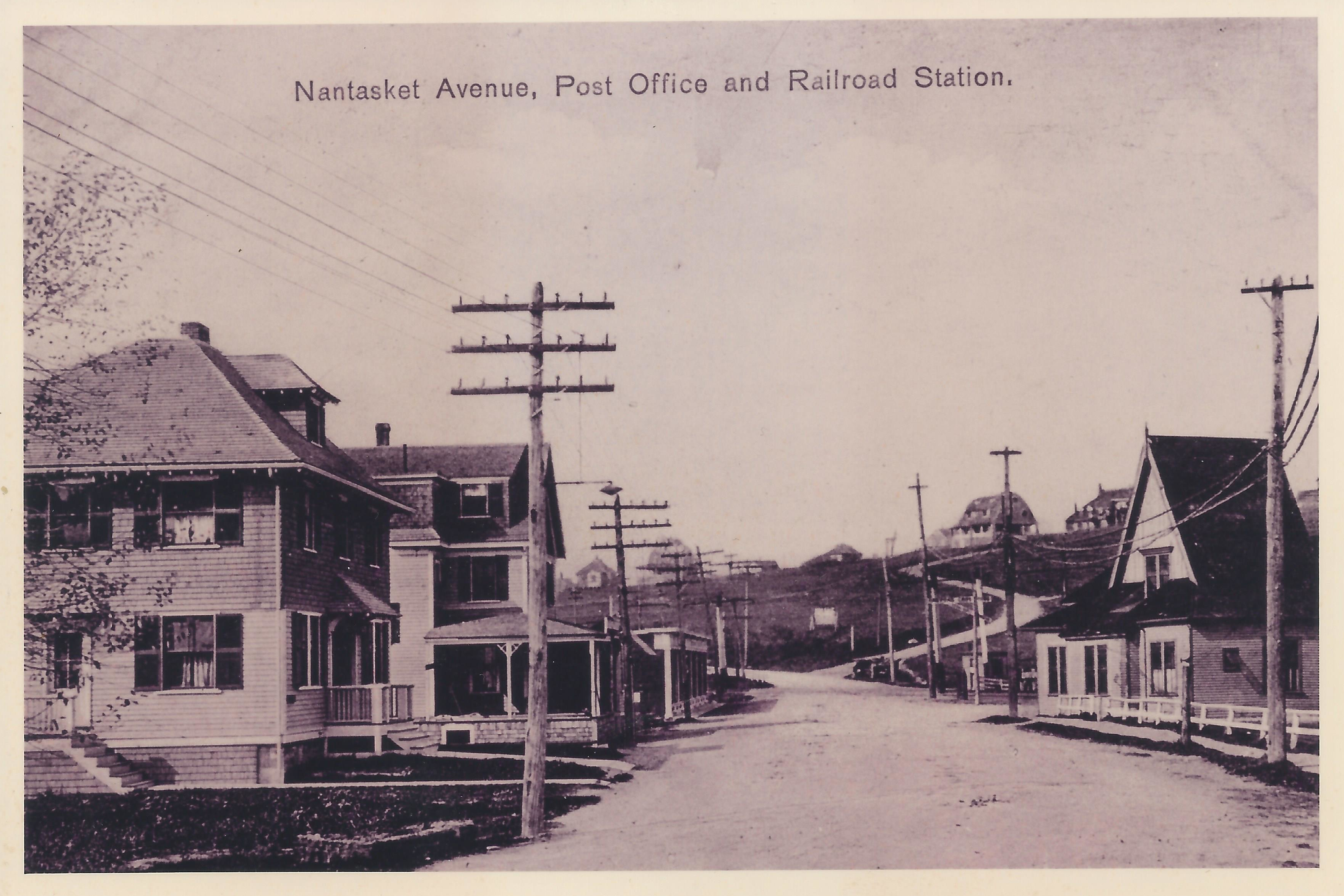
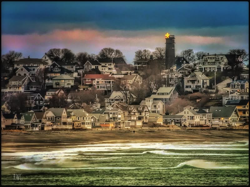
View from the base of Allerton Hill, looking up Beacon Road from the vantage point of Nantasket Avenue near the XYZ streets. The building, bottom right, is a train station-- one of the stops on the rail that once ran the length of Hull down to Pemberton Point.
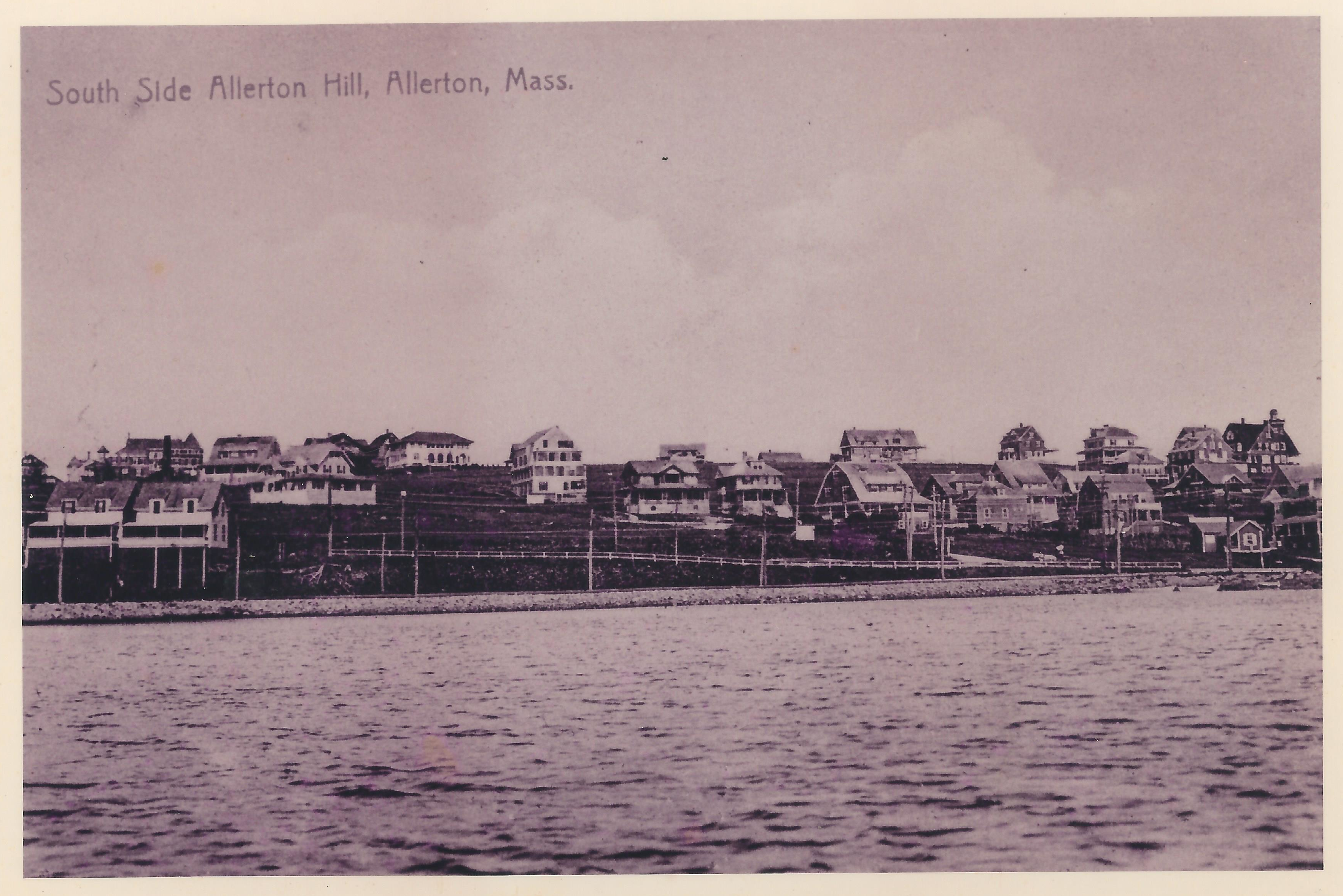
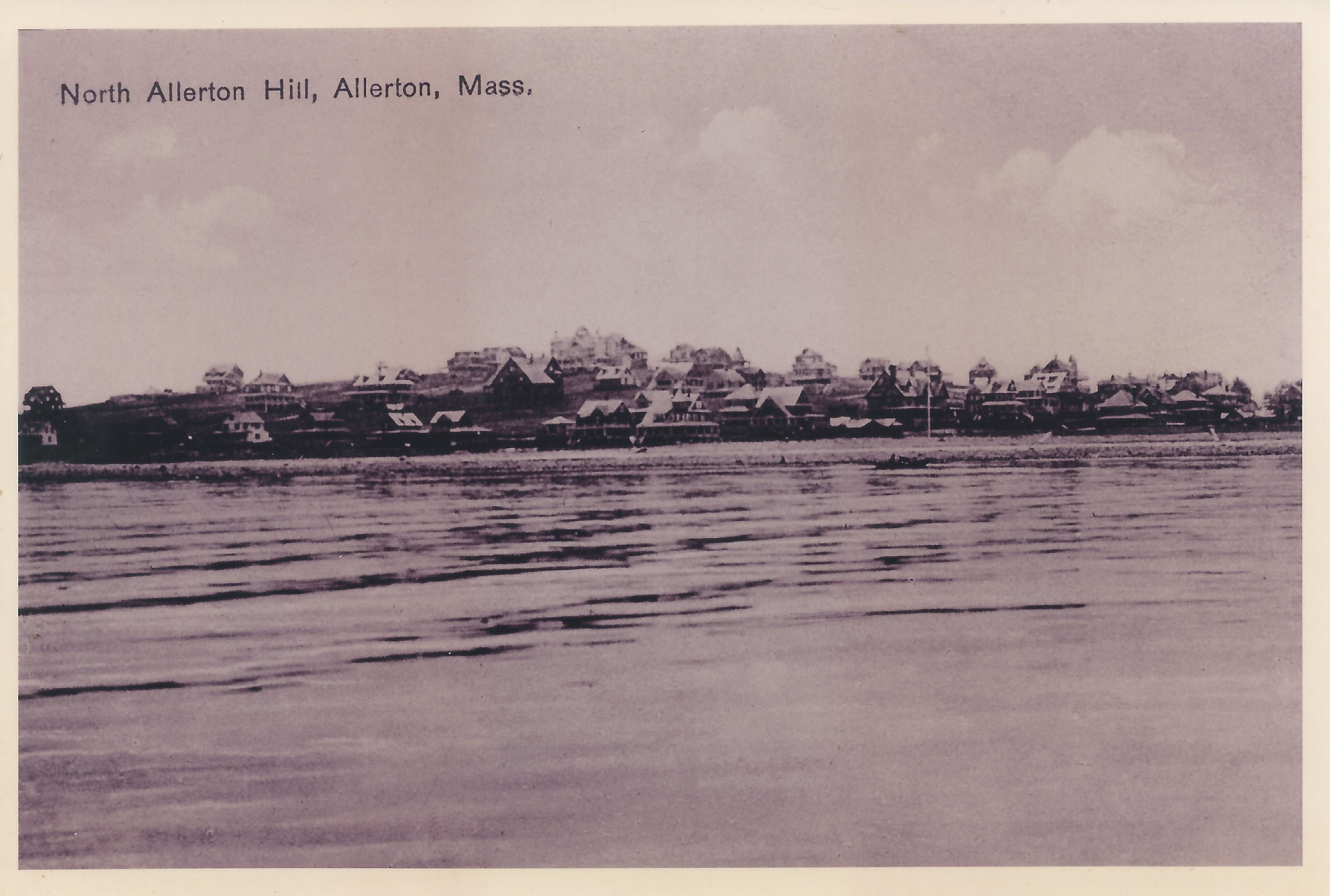
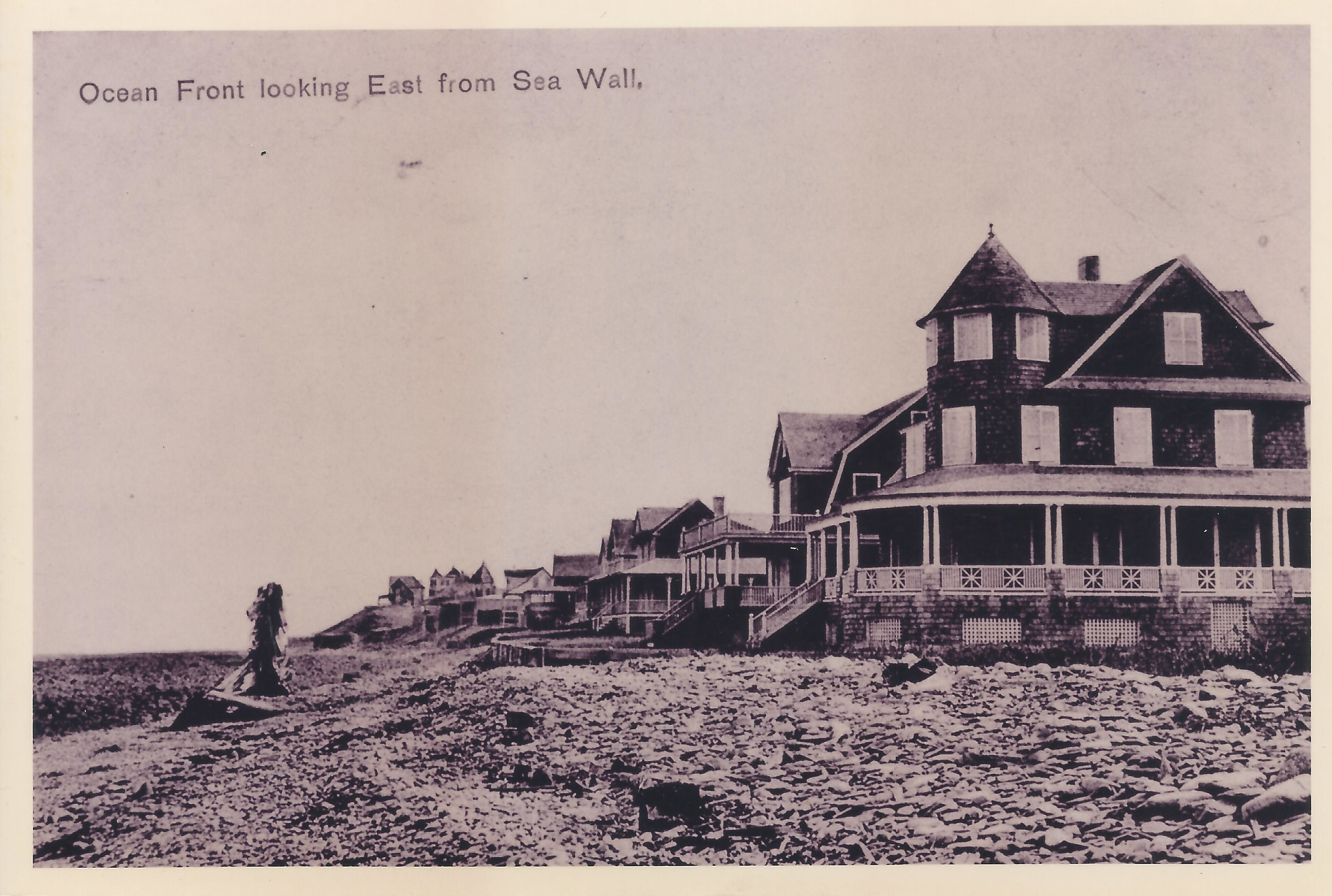
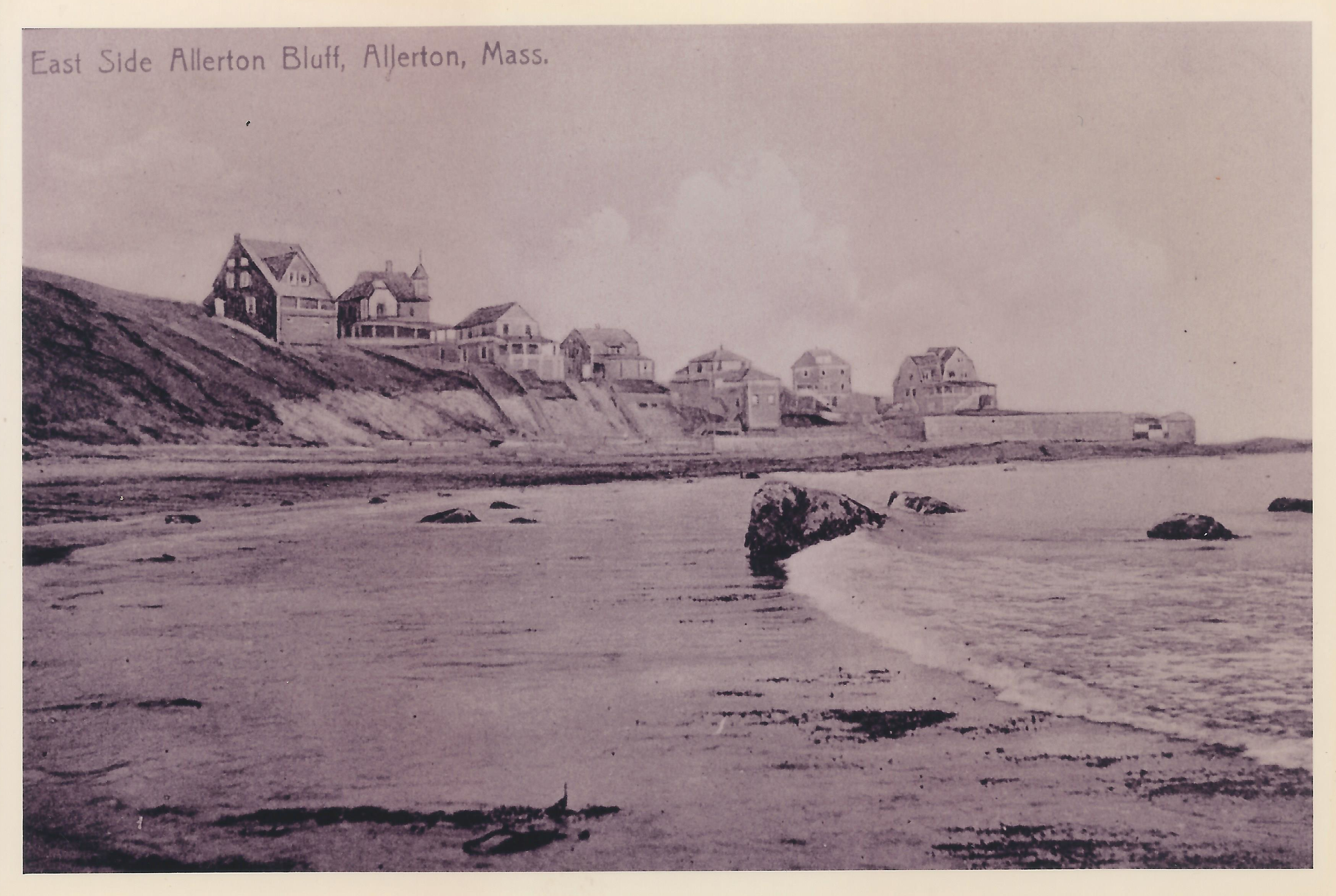
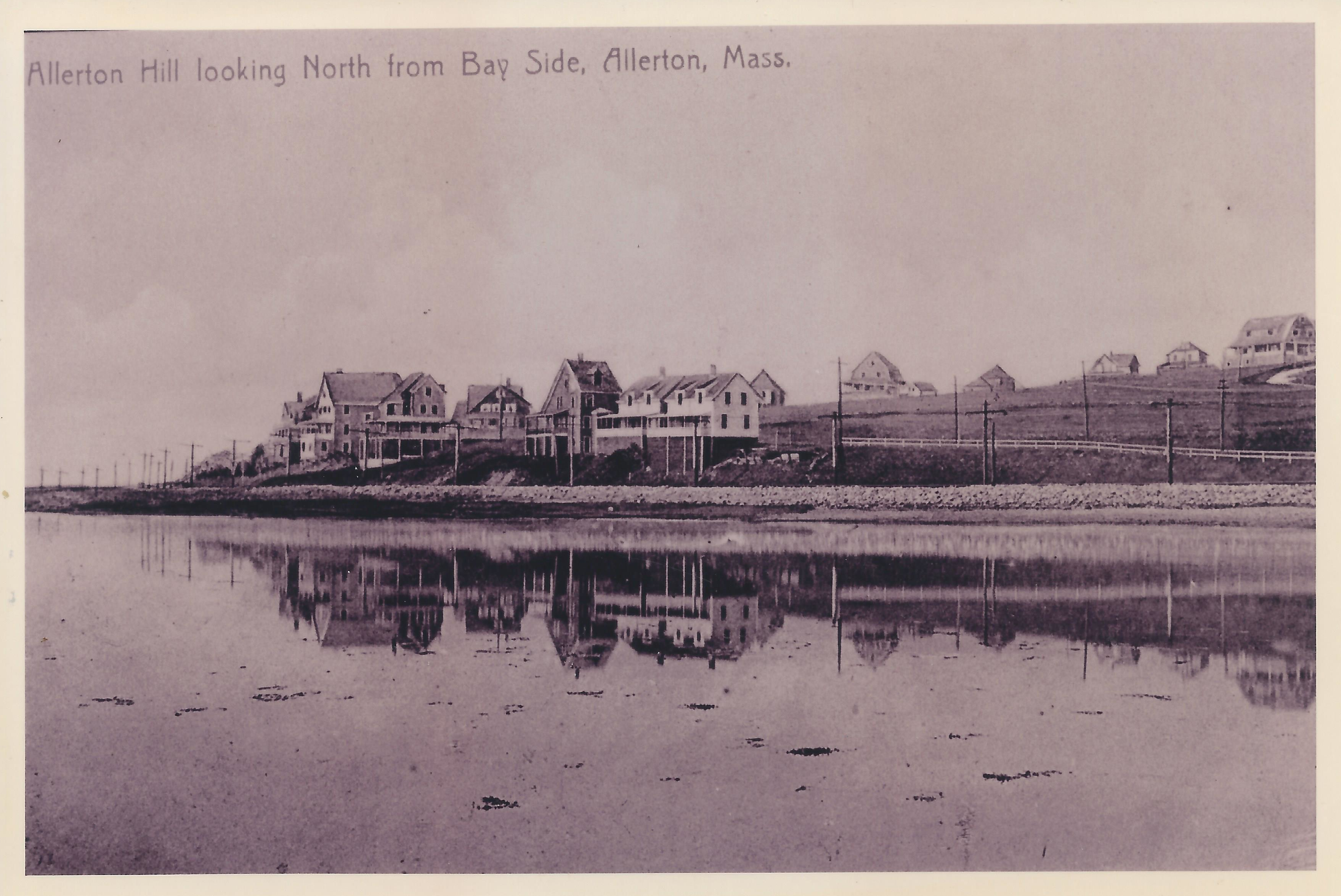
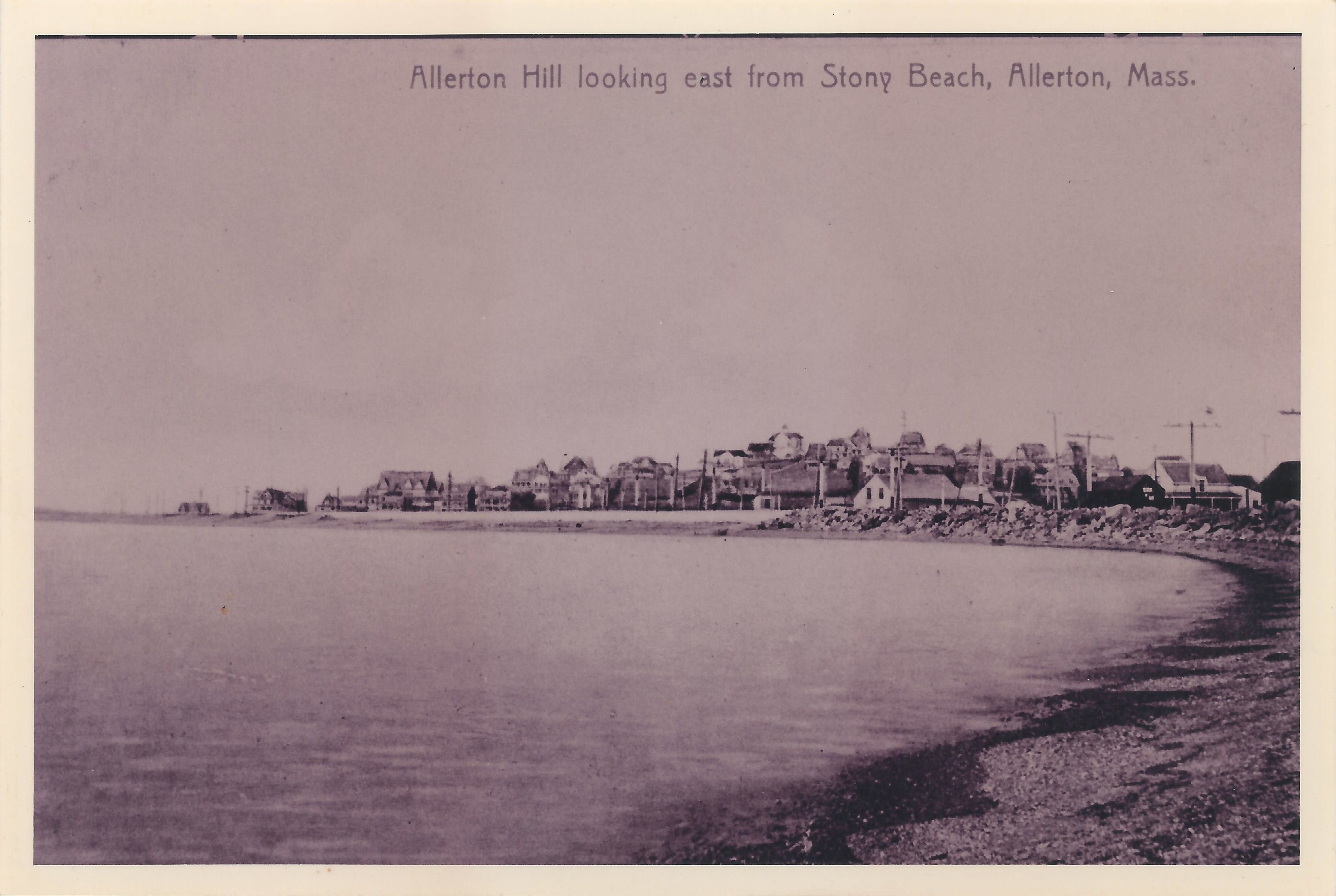
ALLERTON HILL, EARLY 1900's
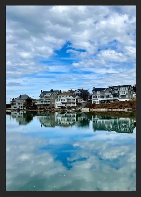
The Point Allerton Association
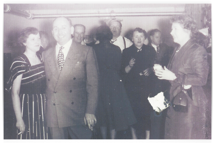
A time-honored tradition. The PAA cocktail party circa 1950's.
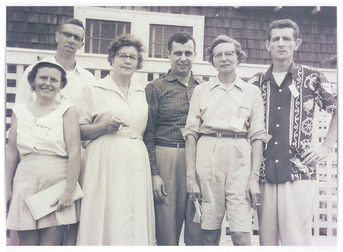
Can any of you PAA old-timers identify this crew?
Was a time when a beacon off the tip of Point Allerton warned mariners away from our shores. The Allerton Beacon was reportedly destroyed in the Great New England Hurricane of 1938 -- a storm with sustained winds of 121 mph that destroyed property up and down the seaboard and sent a fifty foot wave crashing into Gloucester.
THE ALLERTON BEACON
If you have old photos, etc. of Allerton Hill, please share them with your neighbors. Let us know @pointallerton.org
Through the Years
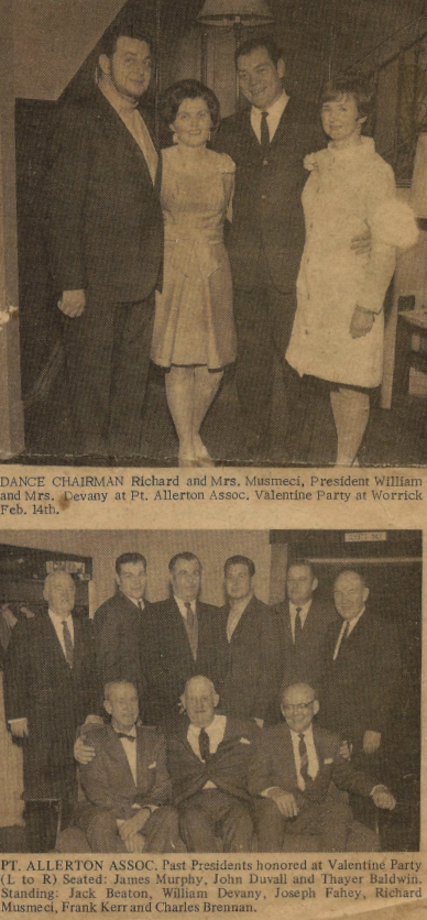
PAA Valentine's Dance, February 14, 1969 at the old Worrick Mansion in Hull.
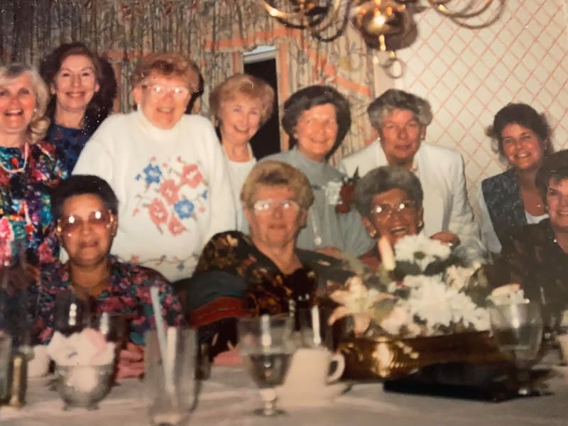
The ladies of Allerton Hill, circa 1970s. Back row, L-R, Anne Musmeci, Terri Kerr (unknown) Peg Devany, (unknown) Marian Fahey, (unknown) Four front row, unknown. Help us fill in the blanks!
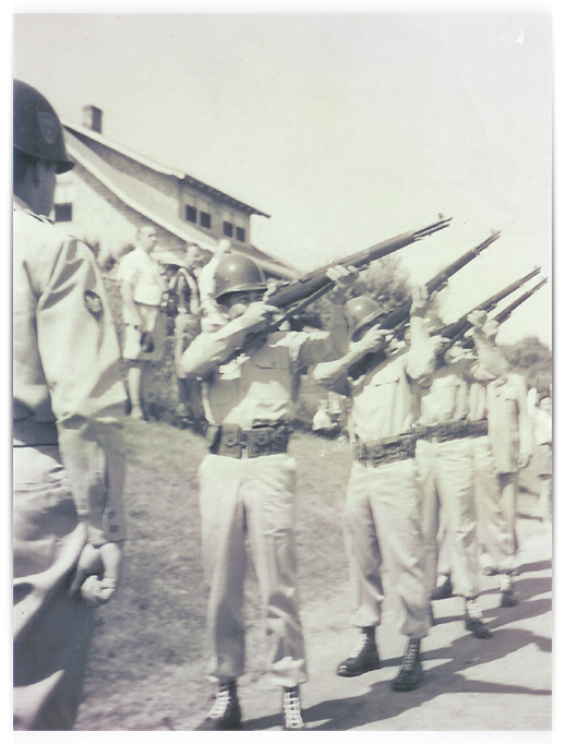
Circa 1950's 21 gun salute (or is it 20?) at the 4th of July flag raising. Perhaps we need to bring this tradition back?

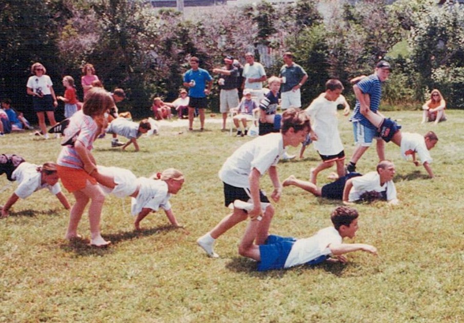
The kids wheelbarrow for the blue ribbon at the PAA July 4th Field Day (date unknown) once held at the former Robinson property on Point Allerton Ave.
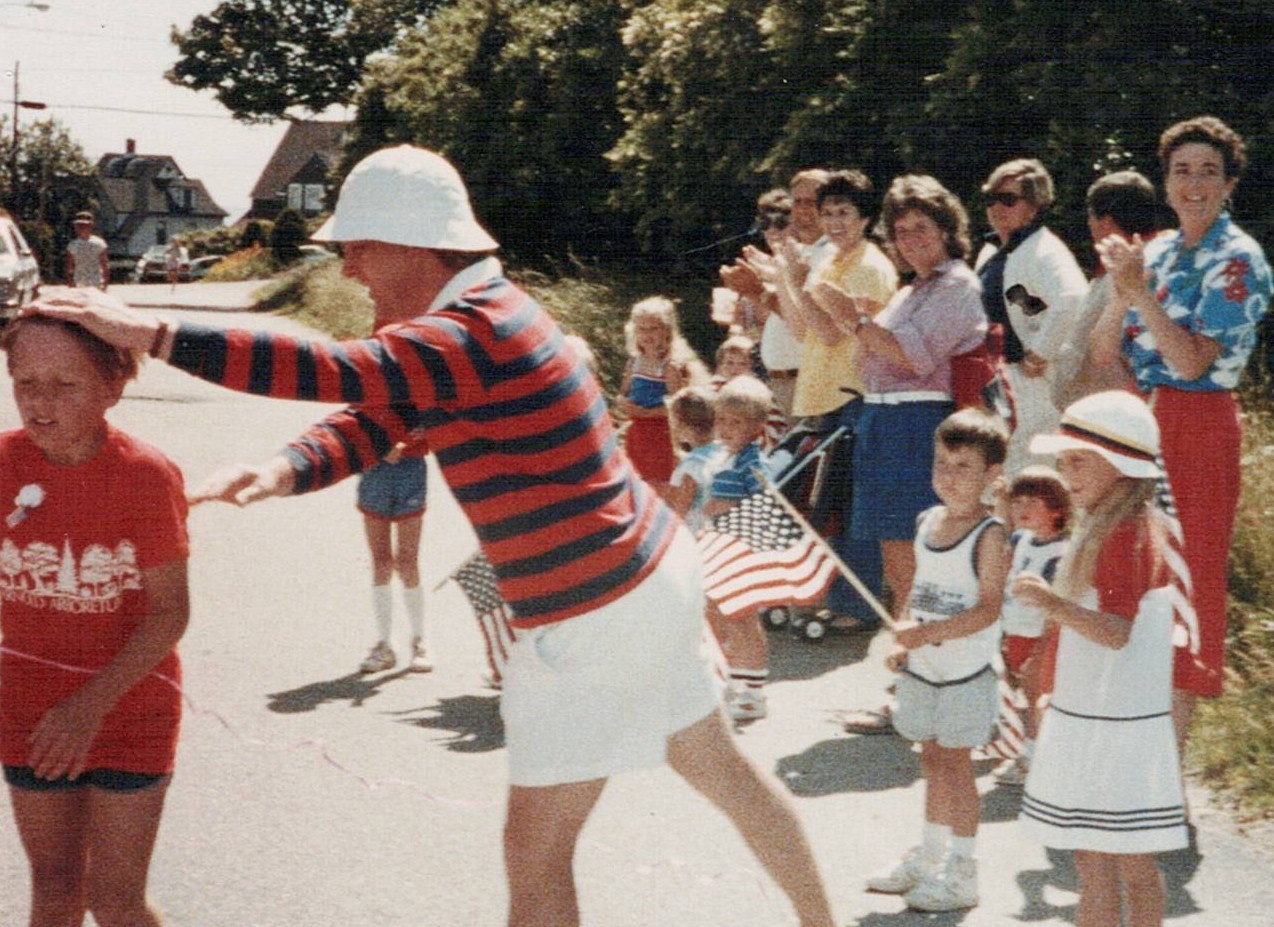
Above two photos (date unknown) were taken at the finish line of the James Murphy Marathon. The "marathon" was a one mile race held on the 4th of July for neighborhood kids. The race's namesake, James Murphy, was a beloved longtime Allerton Hill resident and active member of the Point Allerton Association.
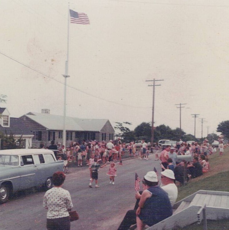
The Point Allerton Association Flag Raising at 27 Holbrook Avenue, an annual Independence Day tradition dating back over 70 years. The photo above was likely taken in the late 1960s.
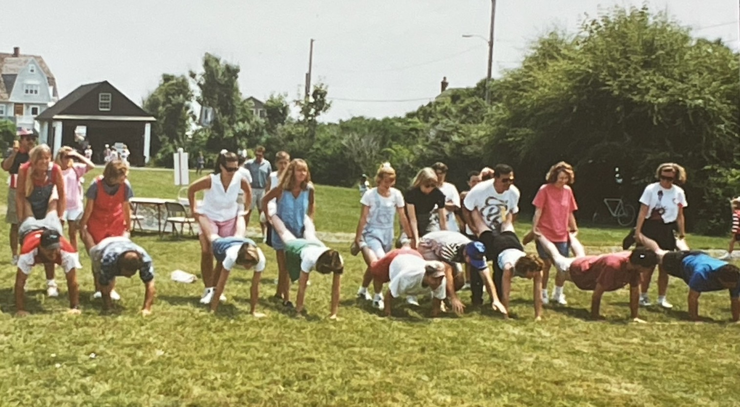
PAA July 4th Field Day (date unknown) The adults prepare to wheelbarrow. On your marks... get set...